


Aerial Mapping of Forest Area
February 14, 1946
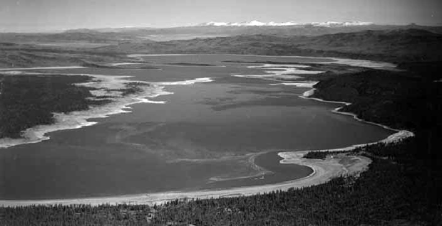
Aerial mapping is now being used to complete a new map of the Lassen national forest. Pictures of this area were taken from airplanes in 1941, but due to the war and the need for trained map men by the army and navy, work was abandoned until now.
The area is divided into strips, and a plane flies usually at 20,000 feet along each strip, taking pictures which overlap at least 60 percent. Uniform prints are made, locating distinguishing points and the prints matched into a mosaic. Translation is made to show roads and springs, elevations and streams, timber and terrain of an accurate and complete map.
Several thousand pictures are being made for the Lassen forest. Each day’s flight shots are marked with the sequence, date, flight number and other identification.


